KFLSEBAS1 - CW7841 in Sebastian, Florida KFLSEBAS1 - CW7841 in Sebastian, Florida  Real Time Weather Statistics from Sebastian Highlands |
|
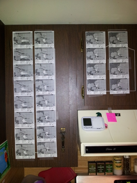
Hurricane Matthew 2016 This Web Page is still under going additions. There is more to be added as time permits. Check back for updates and additions. Featured below is +/-27 hours of recorded video during the passage of Hurricane Matthew as the storm moved north along and just offshore the east coast of Florida during the late evening of October 6, 2016 and the early morning of October 7, 2016. The video begins at approximateky 1:00PM on Thursday October 6, 2016 and was edited to end at approximately 3:00PM on Friday October 7, 2106. This video is quite large so please be patient as it loads into your viewer. Click on PLAY to start the video and click on the speaker to UNMUTE the audio. Hurricane Matthew Tracking Map  Hurricane Matthew Wind Field Map (97L)_Wind_History-11AM.gif) Hurricane Matthew September 28 - October 10, 2016 This is a GOES 13 Water Vapor Loop of Hurricane Matthew. TROPICAL RADAR LOOPS OF HURRICANE MATTHEW Permission was given to link to or use these loops, but credit is requested and given to Brian McNoldy, Univ. of Miami, Rosenstiel School. It is an awesome collection of Tropical Cyclone Radar Loops that are worth viewing. Great work Brian and many thanks! https://bmcnoldy.rsmas.miami.edu/tropics/radar/ https://bmcnoldy.rsmas.miami.edu/ HURRICANE MATTHEW 2016
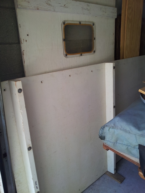
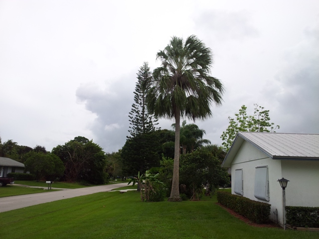
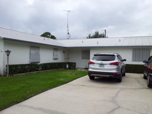
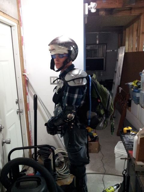
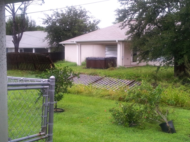
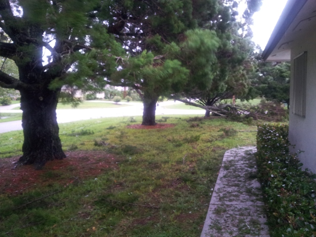
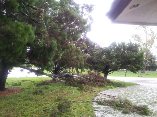
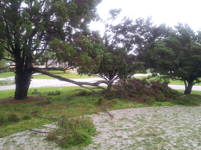
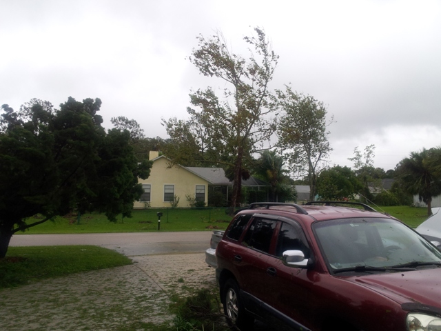
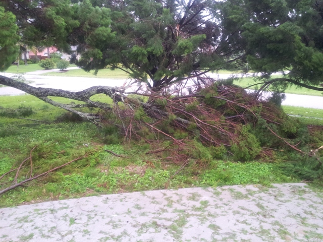
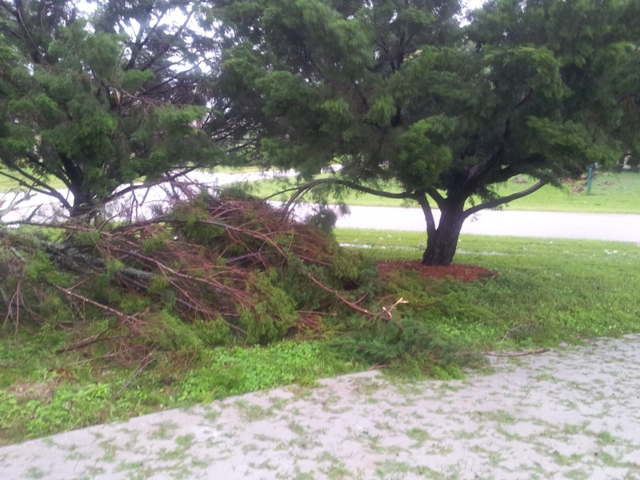
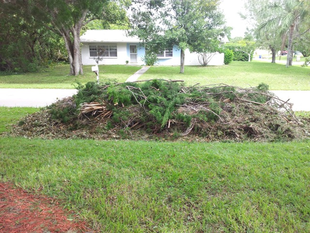
Hurricane Matthew October 7, 2016 Sebastian, Florida This is a short video clip taken during the morning on Friday October 7, 2015 at approximately 9:00AM when Hurricane Matthew was located almost due north of Sebastian, FL and just SE of Daytona Beach, FL. Photo Gallery Jog Any Memories?
|
_Cropped_Final.jpg) |  |  |
| Ambient Weather and Weather Underground Never base important decisions on this or any weather information obtained from the Internet Portions of this Web Page are updated automatically by Virtual Weather Station V15.00 p03 Please note that some of the functionality of this WEB site depends upon outside sources like KFLSEBAS1 Home KFLSEBAS1 Super Compass (Beta) KFLSEBAS1 Graphs and Gauges KFLSEBAS1 Daily Report KFLSEBAS1 Weather Details Forecast Weather-USA-Area-Zone-Coastal-Surf NWS Radar and Forecast Offices Hazardous Weather Outlook Graphical Weather Links Weather WEB Sites Tropical Weather Page Hurricane Hunters Daytona, Florida 2007 Hurricane Wilma Video Archived Hurricane Radar Images Archived Hurricane Satellite Images Steel Series Weather Gauges User Selection Steel Series Weather Gauges Laura's Sebastian, Florida Lynda's Sebastian, Florida Rick's Sebastian, Florida Conversion Calculator Local Vendors Pick List Disclaimers Site Map One Stop * This page was last updated on Saturday, August 16, 2025 11:48:28 AM Copyright© 2001 to Infinity and Beyond: KFLSEBAS1 WEB Site designed and maintained by TVOR 😉 That'll do pig. That'll do.  |